Spatial Intelligence

for autonomous systems

Mission

We build the foundational spatial intelligence technology that defines the next generation of autonomous systems. As systems operate in increasingly complex and contested environments, the ability to perceive, reason, and act in three dimensions becomes the defining capability.

Highlights

Real time

Reconstruction and Segmentation of environment

GNSS-denied

Navigation on edge in contested environments

One-to-many

One operator controlling large swarms through language

Autonomy module

Our spatial intelligence enables any machine to function as a teammate. It bridges the gap between human intent and mission execution.

Capabilities

Advancing defence through spatial intelligence. Navigate, perceive, effect and command. A unified spatial understanding layer connecting every platform.

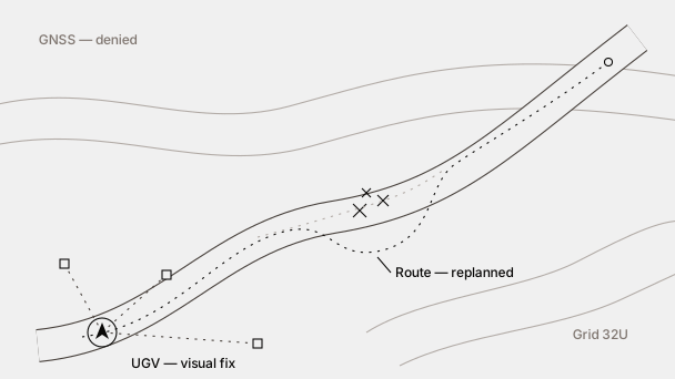
Route replanned around an obstacle, positioned from visual landmarks
Navigate

Reliable navigation in GNSS-denied environments

Our systems navigate precisely and continuously in contested environments, maintaining full operational capability regardless of signal availability. As environmental understanding continuously evolves, the system adjusts its path dynamically, without interruption or human intervention.

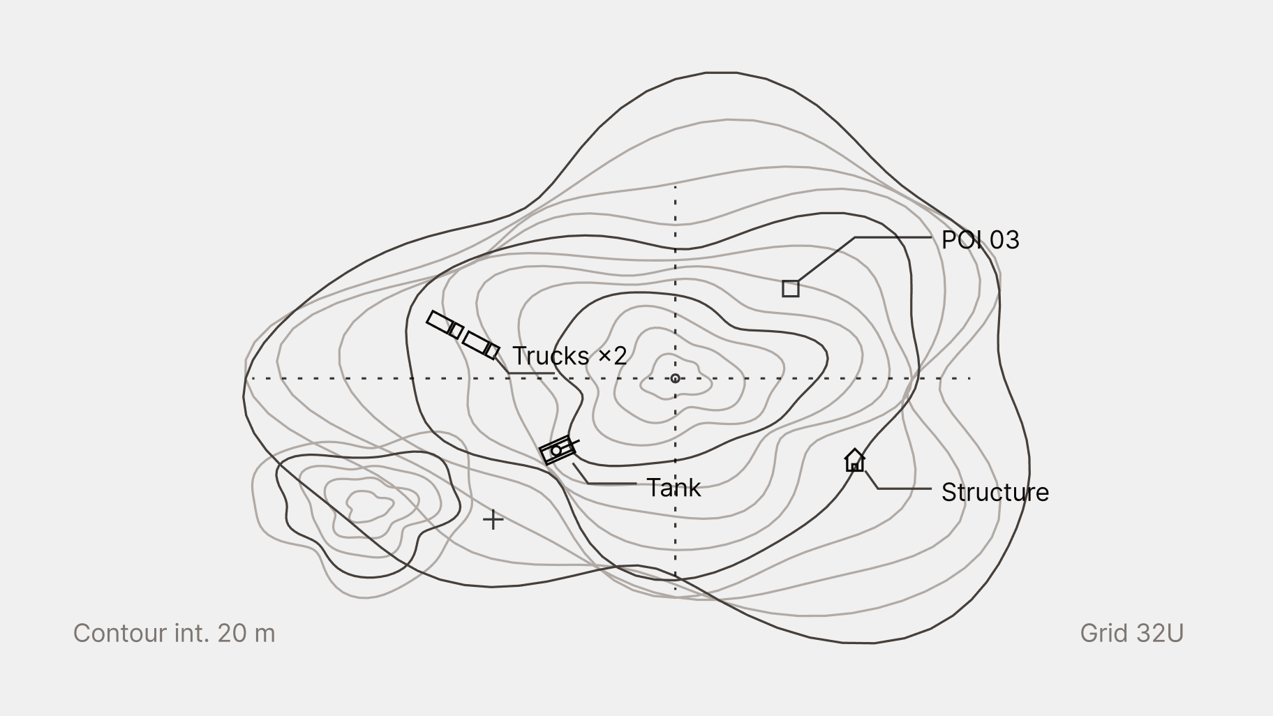
Terrain contours with points of interest
Perceive

Spatial understanding of the battlefield

Spatial intelligence transforms raw visual data into a continuously evolving picture of the battlefield. Objects are detected and classified in real time, and the system reasons across terrain, elevation, and points of interest, feeding a Common Operational Picture that understands the environment rather than simply displaying it.

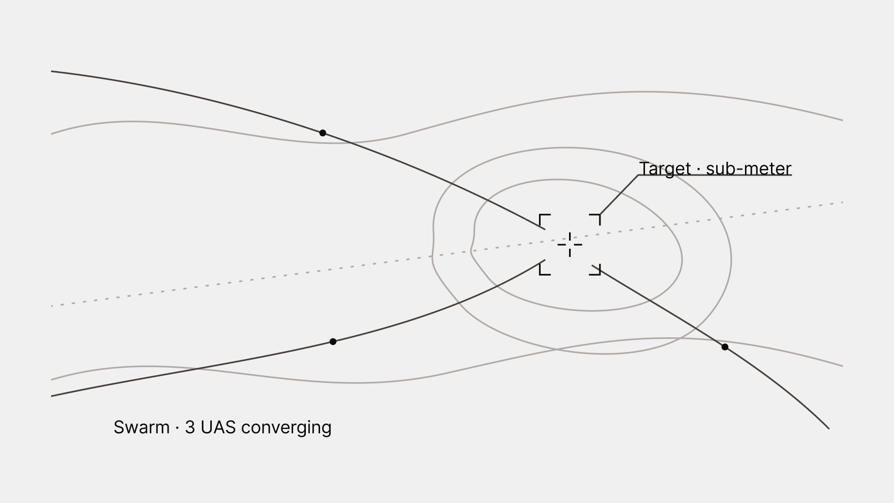
Swarm paths converging on a target
Effect

Autonomous target localisation

Targets are detected and positioned in three-dimensional space with sub-meter precision. Based on that 3D picture, flight paths across the entire swarm are optimised in real time, converging on the designated area with precision and speed.

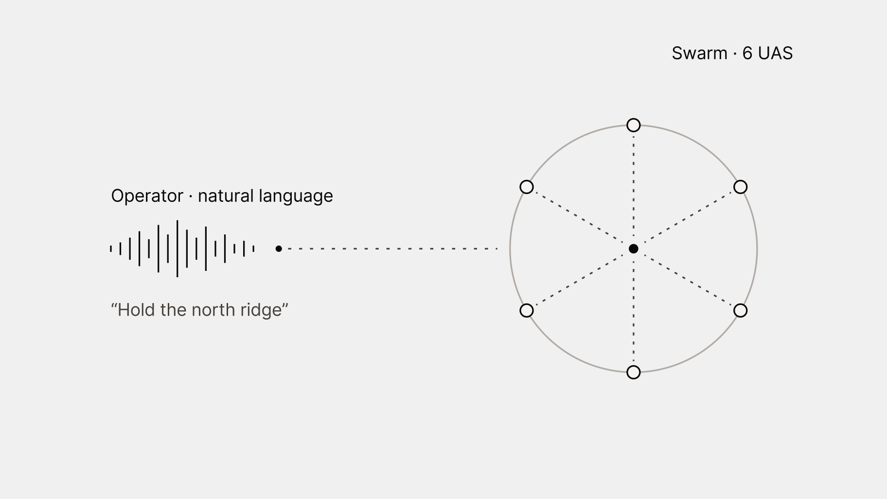
Operator voice command to a six-drone formation
Command

Swarm orchestration through natural language

A single operator directs multiple autonomous systems across domains through natural language, with complex multi-agent coordination handled entirely beneath the surface. Commands are interpreted spatially, translated into precise, distributed behaviour across systems.

Open architecture

Built on an open architecture. Integrate what you already field, and what comes next.

Forces should not have to buy a whole vertical stack to field autonomy. Our spatial intelligence integrates across vehicles, sensors and suppliers through open interfaces, so operators can bring the systems they choose and have them work as one. We build to MOSA principles and design for NATO interoperability standards.

Principles

Modular

Add or swap platforms, sensors and effectors without rebuilding the system.

Interoperable

Designed to speak the standards coalition forces already use.

Open interfaces

Partners integrate our autonomy into their platforms, and build on top of it.

In practice

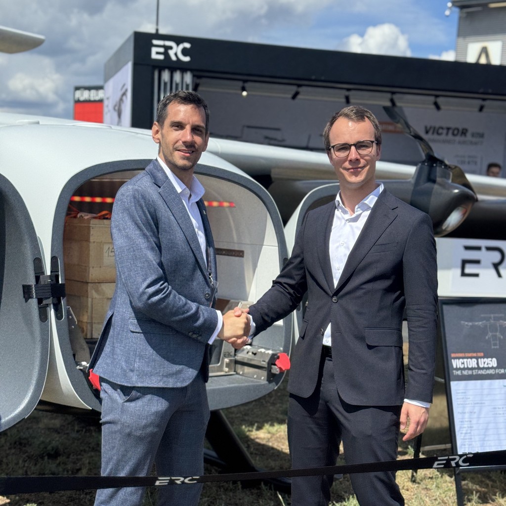
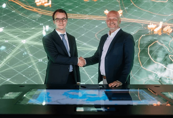
Strategic partnership · 09.06.2026 Integrating our spatial and agentic AI into HENSOLDT’s platform for multi-domain operations. Read more
Partnership Our spatial AI integrates with Auterion, a leading provider of AI-powered software solutions for uncrewed systems.

Designed for

MOSASTANAG 4586STANAG 4817NGVA / STANAG 4754FMNSAPIENT

Company

We are Europe’s leading AI partner for autonomous systems, laying the foundation for a new generation of resilient, software-defined capabilities.

Careers

Join our mission to advance spatial intelligence.
Teams in Munich, Ukraine, Berlin and London.

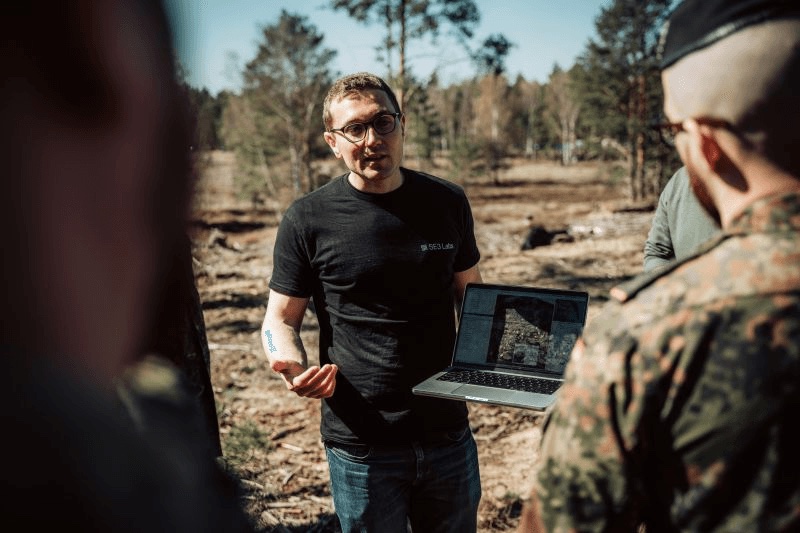
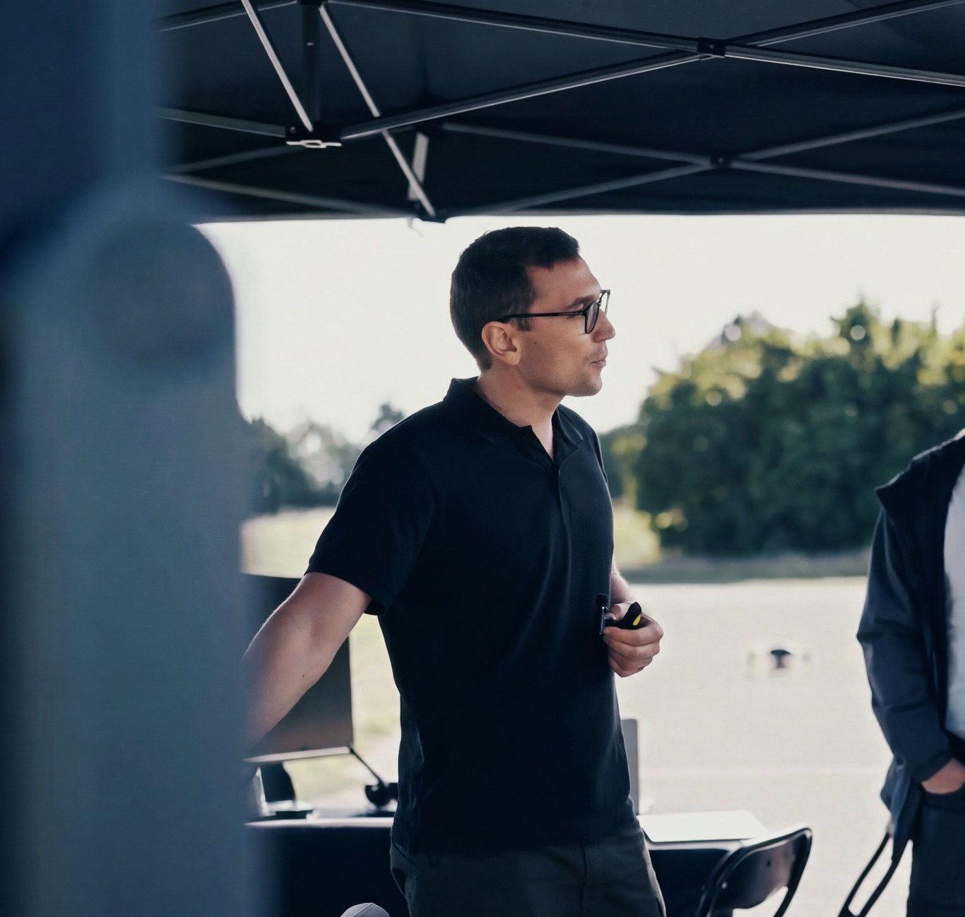
An SE3 engineer in a black polo speaks under a tent at an outdoor drone demonstration
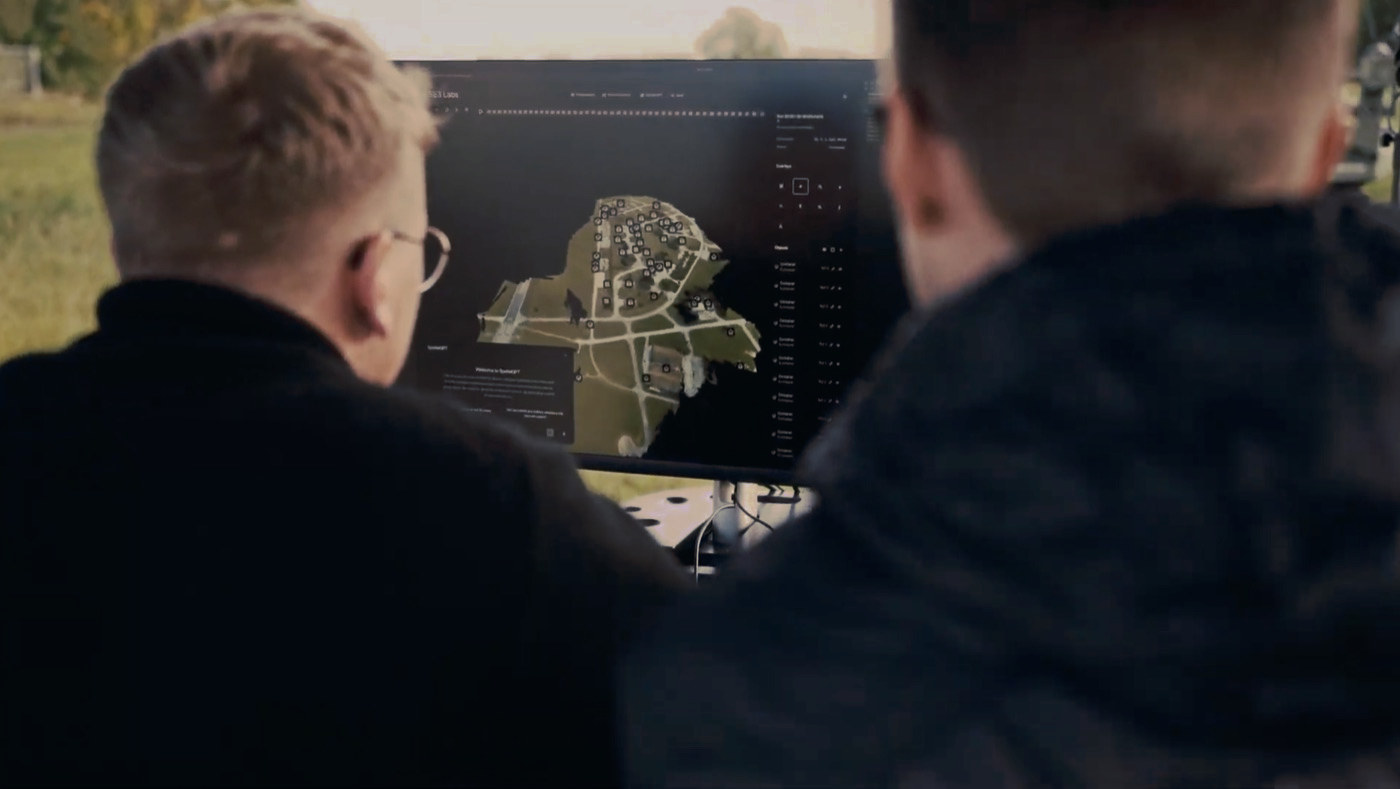
Two people watch SE3 software on a monitor: a 3D map of a village with detected objects marked
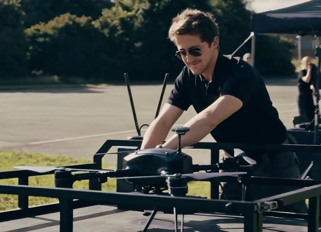
An SE3 engineer in sunglasses prepares a drone on a test rig at an outdoor airfield

Contact

Get in touch to schedule a demonstration or learn how spatial intelligence can support your operations.